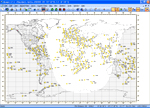
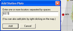
 Add Station - This option allows the specific input of station locators for plotting. The red pinhead at the right of the image is the result of the text box entry.
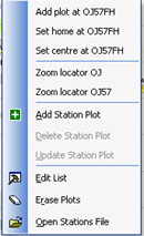 The image at the left is the result of right-clicking on an area in the map as suggested in the Add Station Plots image. The selections available are explained elsewhere in the guide.